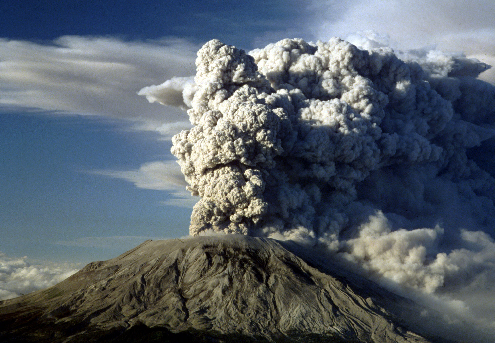
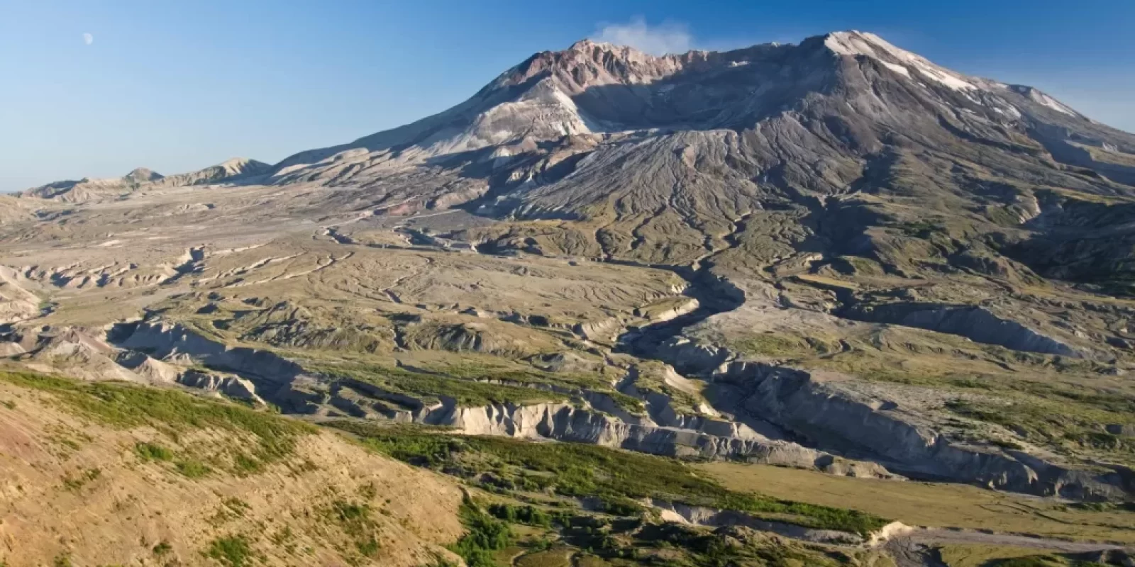
On the morning of May 18, 1980, a magnitude 5.1 earthquake triggered the collapse of the summit and north flank of Mount St. Helens and formed the largest landslide in recorded history.

Gas rich magma and super-heated groundwater trapped inside the volcano were suddenly released in a powerful lateral blast. In less than three minutes, 230 square miles of forest lay flattened. The hot gas and magma melted the snow and ice that covered the volcano. The resulting floodwater mixed with the rock and debris to create concrete-like mudflows that scoured river valleys surrounding the mountain.
A plume of volcanic ash and pumice billowed out of the volcano reaching a height of 15 miles and transformed day into night across Eastern Washington. Avalanches of super-heated gas and pumice, called pyroclastic flows, swept down the flanks of the volcano. While the landslide and lateral blast were over within minutes, the eruption column, mudflows and pyroclastic flows continued throughout the day and following night.
By the following morning major eruptive activity had ceased and the landscape appeared to be a gray wasteland. In 1982, Congress created the 110,000-acre National Volcanic Monument for research, recreation, and education. From this wasteland, new life soon emerged and thrived. The following decades have offered insight into the recovery of ravaged landscapes.
Mount Saint Helens
- Start in Lakewood, WA, and get on I-5 South.
- Follow I-5 South for about 85 miles toward Castle Rock.
- Take Exit 49 for WA-504 E toward Spirit Lake/Mount St. Helens.
- Turn left onto WA-504 E (Spirit Lake Highway).
- Follow WA-504 E for about 50 miles, passing through Silver Lake and Coldwater Lake.
- Continue to Johnston Ridge Observatory, the main visitor center for Mount St. Helens.
No reviews yet. Be the first to review!
Did you like this article? Provide a rating.
